The U.S. Department of Homeland Security's Federal Emergency Management Agency (FEMA) will use the results of this study to assess the long-term fiscal implications of climate change as it affects the frequency and effects of natural disasters. Information from the study will be shared with other states to inform their climate change mitigation efforts.
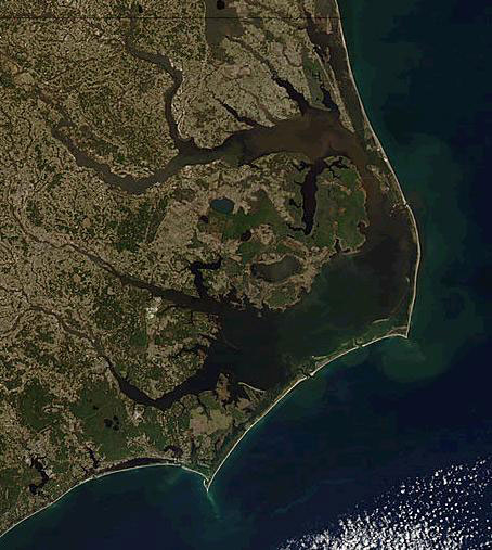
According to FEMA Regional Administrator Phil May, the information and results from this study may help formulate strategies to deal with potential effects of sea level rise on the nation's coast. "North Carolina has been very proactive in implementing and improving upon coastal zone management activities and policies," May said. "Although the study is focused on just the state of North Carolina, the results of the study should be applicable to other coastal states as well. In addition, the study will compliment an existing study currently being performed by FEMA which focuses on the effect of climate change on the National Flood Insurance Program."
FEMA's Mitigation Directorate administers the National Flood Insurance Program (NFIP). The NFIP is an insurance, mapping, and land use program that provides the availability of federally backed flood insurance to home and business owners located in communities that participate in the NFIP.
North Carolina's Office of Geospatial and Technology Management (GTM), part of the North Carolina Division of Emergency Management, will be managing the study. GTM oversees the state's floodplain mapping and management programs. The study will last approximately three years.
FEMA leads and supports the nation in a risk-based, comprehensive emergency management system of preparedness, protection, response, recovery, and mitigation, to reduce the loss of life and property and protect the nation from all hazards including natural disasters, acts of terrorism, and other man-made disasters.