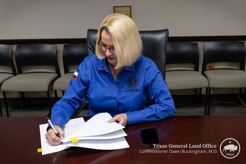
Austin, Texas — Today, Texas Land Commissioner Dawn Buckingham, M.D., is pleased to announce that the Red River Boundary Commission, with the help of the General Land Office’s (GLO) surveying team, has redrawn the Texas-Oklahoma boundary under Lake Texoma in North Texas. This redrawn state boundary will ensure the security and availability of around 30 percent of the drinking water supply for more than 2 million people in that area.
“As Texas Land Commissioner, it is my honor to work on behalf of all Texans and bring solutions to the table to benefit our great state. This redrawn boundary line will ensure that millions of north Texans' water comes from a secure source in Texas,” said Commissioner Buckingham. “I am proud of the GLO’s surveying team for playing such a significant role in settling this boundary issue by using their mapping skills and expertise. Surveying has been a vital part of the GLO since the establishment of this agency in 1836.”

In August 2009, the north Texas Municipal Water District (NTMWD) and the U.S. Fish & Wildlife Service discovered zebra mussels in Lake Texoma. NTMWD subsequently suspended the operation of this pump station to stop the further introduction and propagation of zebra mussels in Texas. It was during this effort that the question of where the pump station was located because, if located in Oklahoma, operating the pump station could violate federal law prohibiting the interstate transport of zebra mussels.
It was determined that the pump station that provides drinking water to certain parts of north Texas was inadvertently built straddling the state lines of Texas and Oklahoma.
On October 30, 2024, the Red River Boundary Commission, composed of Texas and Oklahoma commissions, executed the Amended and Restated Texoma Area Boundary Agreement to correct the boundary issue and ensure the pump station is located wholly in Texas.

