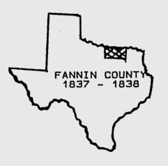
On November 28, 1839, upon motion by Daniel Rowlett, the Republic of Texas expanded the western boundary to include land that later became Grayson, Collin, Cooke, Denton, Montague, Wise, Clay, Jack, Wichita, Archer, Young, Wilbarger, Baylor, Throckmorton, Hardeman, Foard, Knox, Haskell, Stonewall, King, Cottle, and Childress counties, as well as parts of Hunt and Collingsworth counties.
Texas entered the Union of December 29, 1845 and two months later, on March 14, 1846, the counties of Grayson, Collin and Hunt were created and the boundaries of Fannin County were reduced to the present-day.
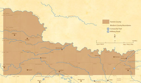
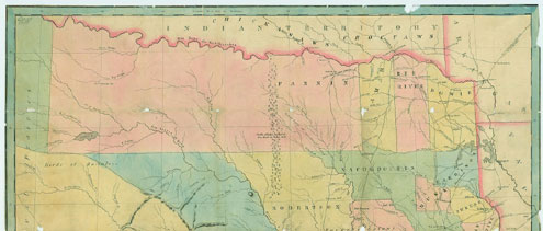
This lovely map published in 1847 shows Fannin County extending to the edge of the Panhandle.

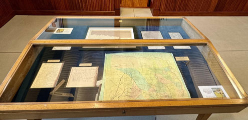
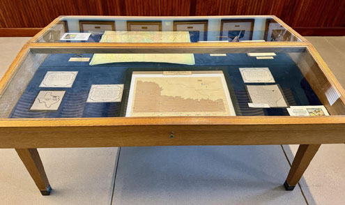
This map and additional information about the formation of Fannin County is now on display on the 2nd floor of the Fannin County Courthouse. Stop by the Courthouse to enjoy them. You can also see them at the Fannin County Museum of History.